Changing names: Flemington, Flemington Bank, Flemington Bridge
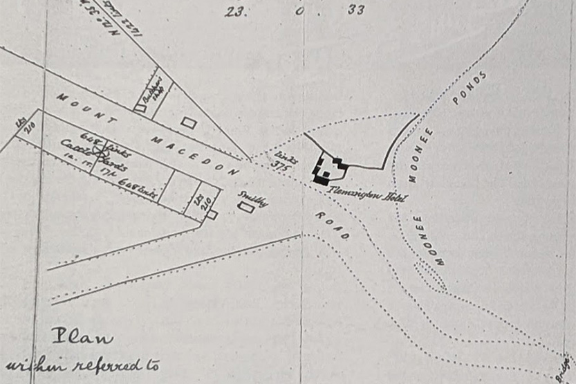
When first subdivided and sold in 1849 the area bounded by Boundary Rd, Racecourse Rd, Rankins Rd Kensington and Macaulay Rd, with the Moonee Ponds Creek in the middle, was known as Flemington. Stubbs St is the north-south road in the middle.
The area was section two, portion 16 of the Parish of Doutta Galla, subdivided into two-acre small farm allotments. Allotments that included the Moonee Ponds Creek itself, which isn’t even shown on the map, and which at the time, was marsh and shallow ponds, that likely dried out, or mostly did, in summer, like the West Melbourne Swamp into which it ran, or seeped. The east-west streets, Parson St, Smith St and Robertson St, most likely just tracks if anything, ran from Boundary Rd to Rankins Rd straight through the creek area, and were before the 1884 Coburg (now Upfield / Craigieburn) railway line was built, which then cut them, eventually leading to the renaming of the eastern halves to Alfred, Sutton and Mark streets.
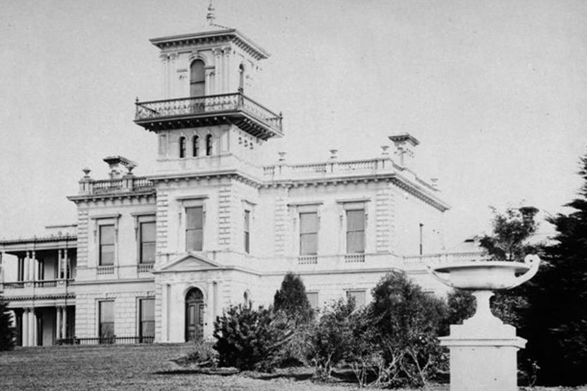
James Watson was the owner of two large allotments of land to the north, and named his land, and the wider area it seems, Flemington. He built his mansion atop the hill, possibly known as Flemington Hill, in what became Travancore. It was replaced by an even more elaborate mansion by Hugh Glass, one of Melbourne’s wealthiest men, who bought the property in 1849 from Watson.
The allotments on the higher areas in the initial 1849 auction sold better, those away from the “Bed of the Moonee Ponds”. In fact, allotments along Stubbs St didn’t receive any bids, but by 1855 all the allotments had been sold.
George Kirk purchased allotments 1-4 in the initial auction. He owned tanneries in Richmond along the Yarra, and the “Avoca House” mansion in South Yarra next to the river.
Back to names, the area between Boundary Rd and the Moonee Ponds Creek was known as Flemington Bank, at least by the locals, as it doesn’t appear to have been made official, and yet to be found any old maps. Was it because that area is actually, sort of, a creek bank – it is higher than the “Bed of the Moonee Ponds”. Boundary Inn mentioned in the article below was a small hotel on Boundary Rd between Alfred St and Racecourse Rd.
Flemington Bank, even if initially sold as small farm allotments, became an area with a considerable number of tanneries, and the “nuisances" associated with them, eventually relocating, like tanneries upstream along the Yarra and Maribyrnong Rivers.
So, there was Flemington, Flemington Bank (or Banks), Flemington Hill – and Flemington Bridge, which is still with us and refers to the same locality.
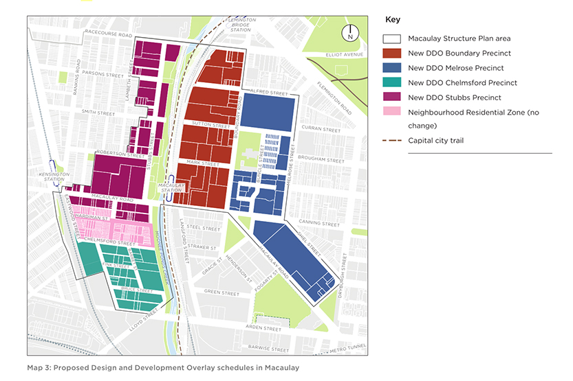
And now with the next turn of major development, the Macaulay Structure Plan and City of Melbourne Amendment C417, we might see these areas renamed yet again, becoming the Stubbs and Boundary precincts. •
Related Articles
The history of St James Old Cathedral
St James Old Cathedral, on the corner of King and Batman streets, directly opposite the Flagstaff Gardens, is an important building in the early history of Melbourne.
Read More
1851: North and West Melbourne
July 1, 1851, was an important date in the history of Victoria, and particularly for North and West Melbourne.
Read More
Trekking through North and West Melbourne to Geelong, and fording the Moonee Ponds Creek
One of the earliest maps of Melbourne, the Robert Russell 1837 map, when Melbourne’s population was only a few hundred shows a “Track to the Saltwater River and Geelong”.
Read More
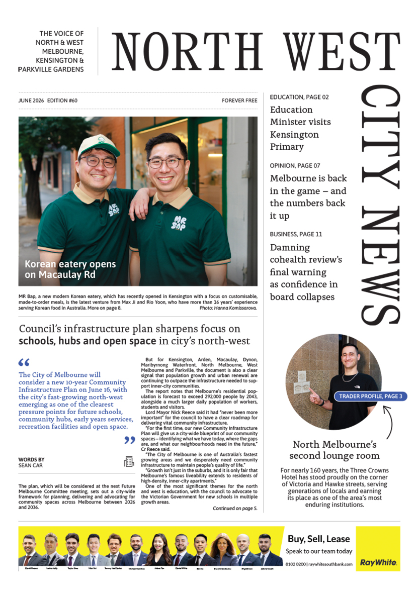
Council’s infrastructure plan sharpens focus on schools, hubs and open space in city’s north-west

Kensington church sold to faith-based community
 Download the Latest Edition